The latest Ports Cruising Guide for Lake Ontario is now available!
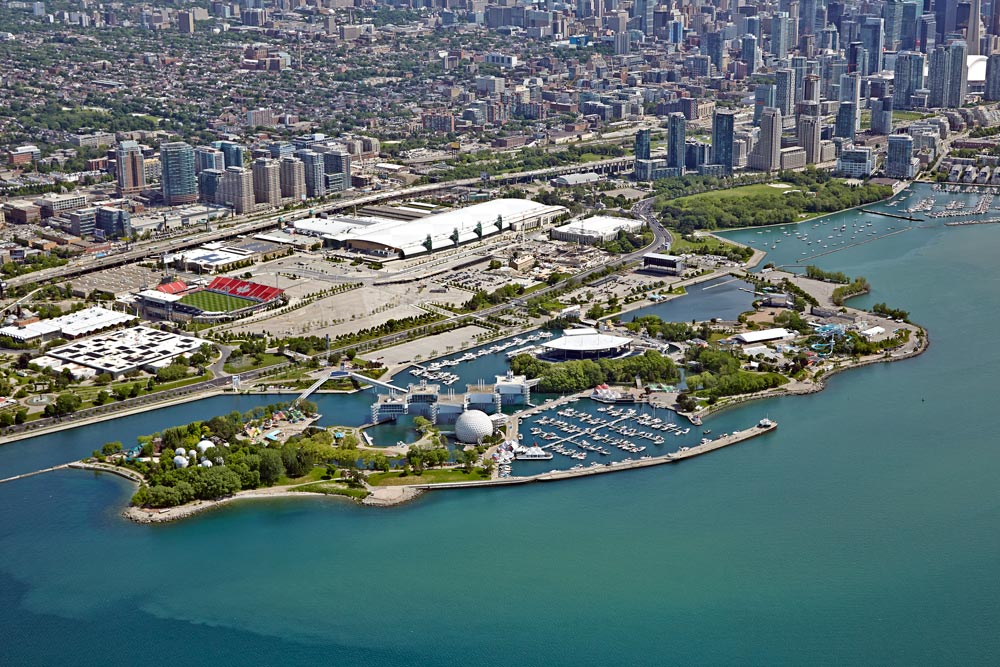
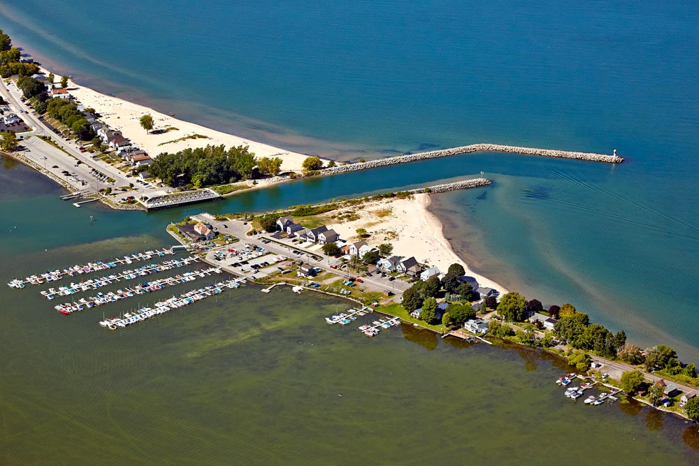
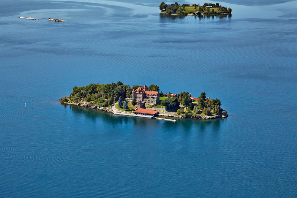
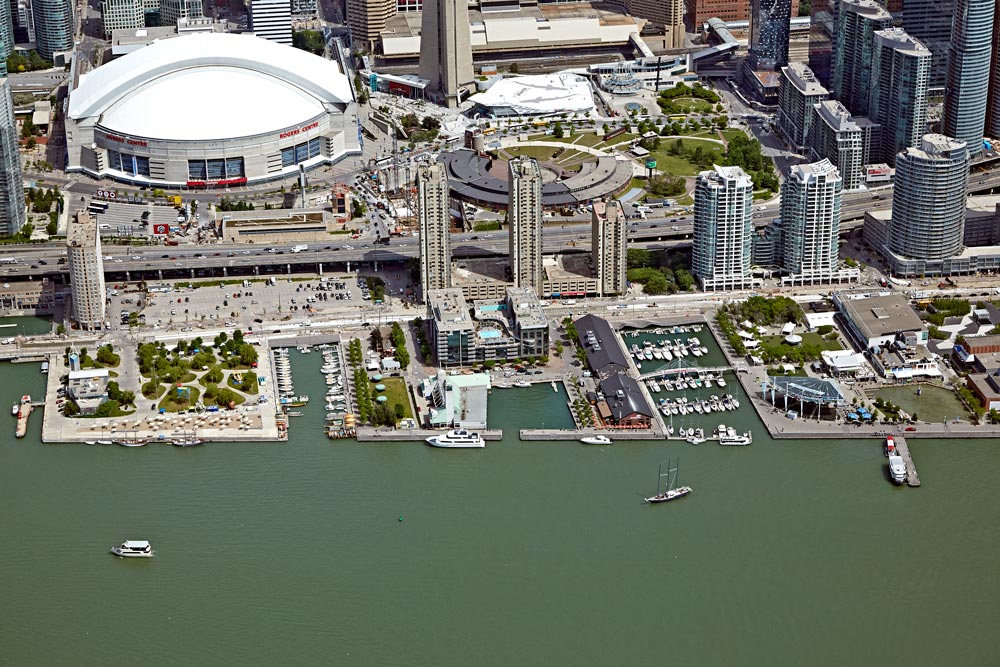
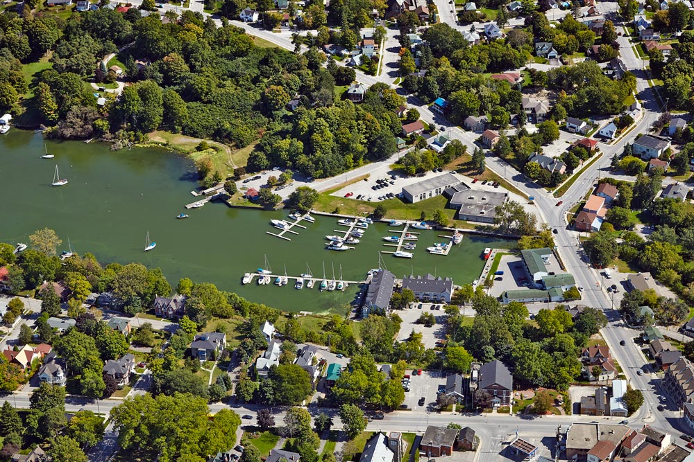
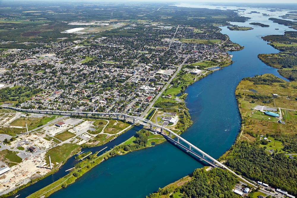
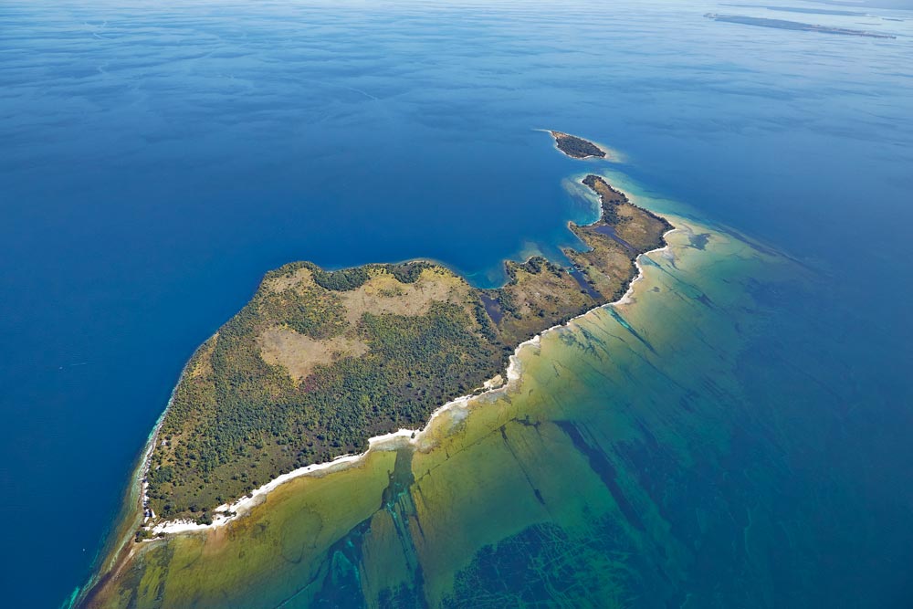
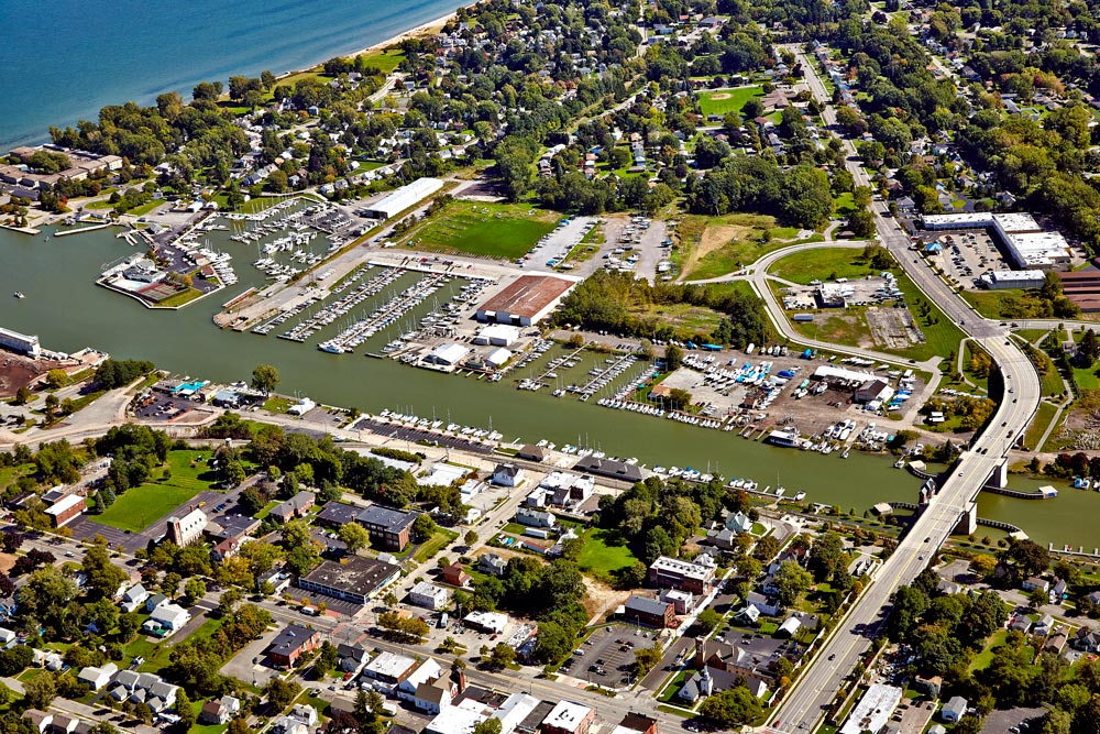
Back in the summer of 2014, BP imaging was hired to photograph Lake Ontario including the Thousand Islands and part of the St. Lawrence Seaway all the way to Brockville. The book includes over 280 aerial photos including marinas & facilities, islands & anchorages, repair services, shopping and points of interest – all for the unfamiliar boater.
BPI was required to hire an aircraft out of Buffalo, New York to take photos on the U.S. side of the lake. It was a co-ordinated effort between our aerial photographers, aircraft and the weather conditions to successfully complete the project. Taking aerial photographs around the Thousand Islands was a challenge as many of the sites were difficult to identify from the air but careful planning allowed us to get all of the shots required. The project took 5 full days to shoot plus post photography production.
The Ports Cruising Guide is proof that aerial photography is a great way to capture an area both wide or close-up, showing the subject and surrounding amenities. We are already planning the next lake project for the summer of 2016!


